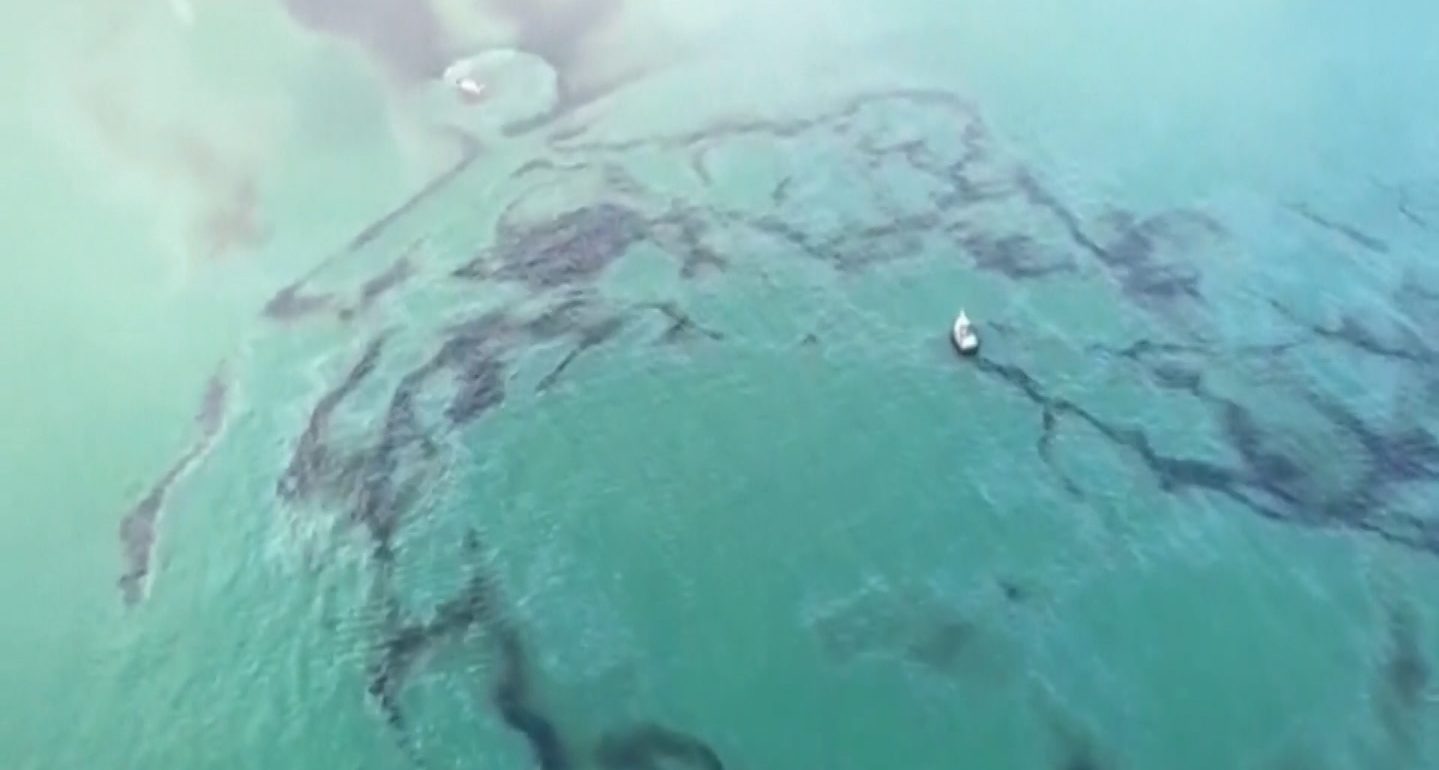
Satellite images reveal stark streaks of black staining the pristine waters of the Caribbean, depicting the aftermath of an oil spill near Tobago. The incident, which occurred on February 7, stemmed from a barge mishap that resulted in the vessel sinking and leaking oil into the surrounding waters, as reported by the Trinidad and Tobago Coast Guard.
Comparative images captured by the European Space Agency’s Copernicus Sentinel-1 mission showcase the alarming spread of the oil spill from its point of origin near Tobago Island.
The initial images, taken before the spill, contrast with those captured on February 14, revealing the extensive westward drift of the oil slick across the Caribbean seas.

Tobago Oil Spill Captured By Satellite (Credits: Reuters)
As of Friday, the oil spill had traveled approximately 150 miles, according to the Tobago Emergency Management Agency (TEMA). However, in the intervening days, it is likely that the spill has extended its reach even further.
TEMA underscored the severity of the situation in a Facebook post, indicating that the spill now spans 150 nautical miles northwest from Tobago’s westernmost point, encroaching upon areas north of The Los Testigos Islands, north of Venezuela, and south of Grenada.
The barge and accompanying tug boat were purportedly en route to the nearby island of Guyana, with the barge allegedly carrying up to 35,000 barrels of fuel oil. However, the precise volume of oil leaked and the specific type of petroleum remain unconfirmed at this time.
The unfolding environmental crisis underscores the urgent need for coordinated response efforts to mitigate the ecological impact and prevent further devastation to marine ecosystems in the region.


