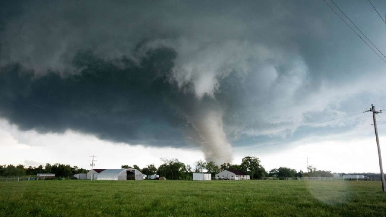
Millions of residents across the Central U.S. are bracing for severe weather conditions, including thunderstorms and tornadoes, from Monday night through Wednesday.
The National Weather Service’s Storm Prediction Center has issued alerts for severe thunderstorms expected to develop across the Central Great Plains and parts of Virginia and Maryland. The onset of these storms is forecasted for Monday night, extending into the overnight hours.
In the Central Great Plains, particularly in Kansas and Nebraska, the threat includes scattered severe thunderstorms and the possibility of “strong” tornadoes. Additionally, residents in these areas should prepare for large hail and damaging wind gusts.
Central US braces for severe weather (Credits: CNN)
The occurrence of tornadoes will hinge on the formation of large supercells—towering storm systems characterized by prolonged updrafts capable of producing tornadoes and hail.
Parts of Virginia are also at risk of experiencing “scattered severe gusts” from Monday afternoon into the evening.
As the storm system progresses, it is expected to move into the Mississippi Valley, Great Lakes, and Ohio Valley by Tuesday. This transition could bring severe weather conditions and isolated instances of flash flooding to these regions.
Forecasters have identified southern Iowa, northern Missouri, and west-central Illinois as areas with heightened risks of severe hail and tornadoes starting Tuesday. Additionally, parts of the mid-Atlantic states may face isolated severe weather threats.
The National Weather Service’s Storm Prediction Center (Credits: NY1)
According to Harold Brooks, a tornado scientist at the National Severe Storms Laboratory, May marks the midpoint of tornado season, with late April to mid-May typically witnessing the occurrence of the strongest and most destructive tornadoes.
Some scientists have suggested a shift in tornado activity within the U.S., with more instances reported in states along the Mississippi River and farther eastward. This evolving trend underscores the importance of vigilance and preparedness among communities susceptible to severe weather events.
